Engineering · II
The Roads
At its peak the empire's road network ran to roughly 400,000 km, of which about 80,500 km were paved with the standardised four-layer viae publicae. To better get a better visual of the scope of the network and learn about key roads, you can visit this map.
Origin
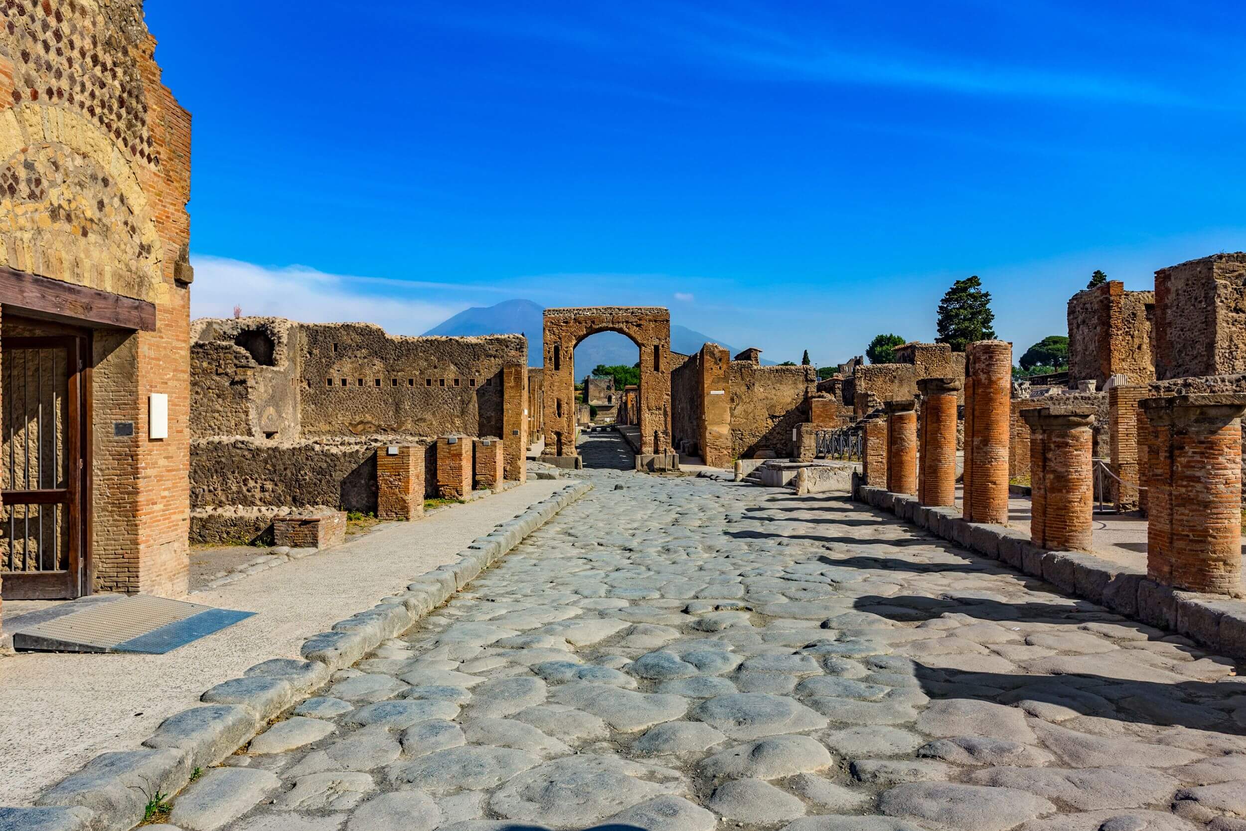
Roman-perfectedPaved roads existed in Mesopotamia, Egypt and Crete. What was Roman was the system: a four-layer engineered cross-section (statumen, rudus, nucleus, summum dorsum), crowned drainage, milestones, and uniform legal status (via publica).
Roman use
Built primarily for the legions — a marching column could cover 30 km a day. They carried tax couriers, the cursus publicus, grain shipments, and the commerce that funded the army. Famous routes: Via Appia, Via Flaminia, Via Egnatia.
Still with us
A 2024 University of Gothenburg study found that regions inside the old Roman road network are measurably more economically prosperous today. Many modern European highways and rail lines trace Roman alignments almost exactly.
Scale
Total network≈ 400,000 km
Paved viae publicae≈ 80,500 km
Major named roads29
Daily march20–30 km
Standard width
Two carts wide — typically 4.2 m of running surface, flanked by 0.5 m kerbs and pedestrian margins. Crowned 1:60 for drainage; flanking ditches kept the bed dry.
Origin attribution
Roman synthesis · 70%Persia (Royal Road) · 20%Etruscan / Carthaginian · 10%
Layers of an Ancient Roman Road
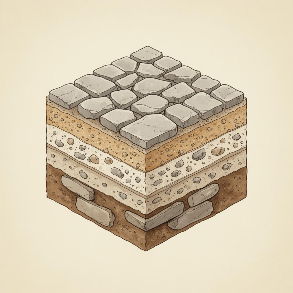
Layer · top → bottom
Summa Crusta
Paved wear surface — large polygonal basalt or limestone slabs, tightly fitted and crowned 1:60 to shed rain.
Hover or tap a layer in the diagram to reveal its Latin name and engineering role.
© 2026 Ryan Jensen. All rights reserved.